Historical Documents, Maps & More
-
New Madrid Claims
-
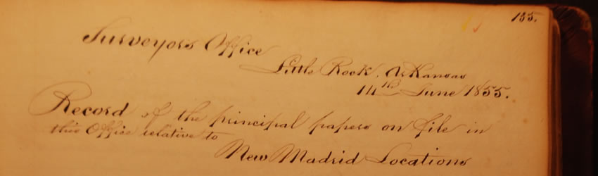
New Madrid Claims
-
New Madrid Claims
Documents |
New Madrid Claims (1815) |
VIEW IMAGES |
|
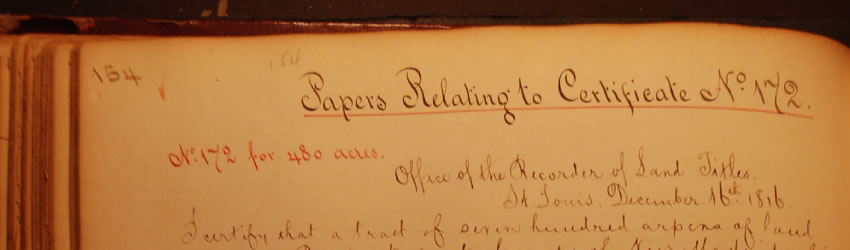
New Madrid Lands were established by an Act of Congress in February of 1815 and were a direct result of the earthquakes that devastated New Madrid County and other parts of the Missouri territory in 1812. Under this Act, land owners whose lands had been “materially injured” could relocate to other unclaimed public land in the territory free of charge. The principal conditions were that landowners could not claim an amount of land greater than what they previously owned, and the claim was not to exceed 640 acres. Land owners whose tracts were less than 160 acres were allowed to claim up to 160 acres. No claim could contain a lead mine or salt spring. Title to lands that were vacated reverted back to the United States.
Helpful Tips
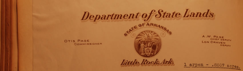
When researching New Madrid claims, it is easiest to refer to the index page first. The index was done during the tenure of Commissioner Otis Page (1937-1943).The index page provides the name of the claimant, claim number, page number of the journal and the number of arpens or acres claimed. An arpen was the French unit of land measurement that is approximately .85 acres. This term was also used by the Spanish and you see it used extensively in Spanish Land Grants.
There is also an alphabetical index to New Madrid claims and Spanish claims that refers you to the correct page number in each journal. It also provides the survey number which was a requirement of both types of claims.
Interesting note: The correct spelling of arpen is actually “arpent”. Only in the documents originating from the Missouri Territory was the spelling shortened.
|